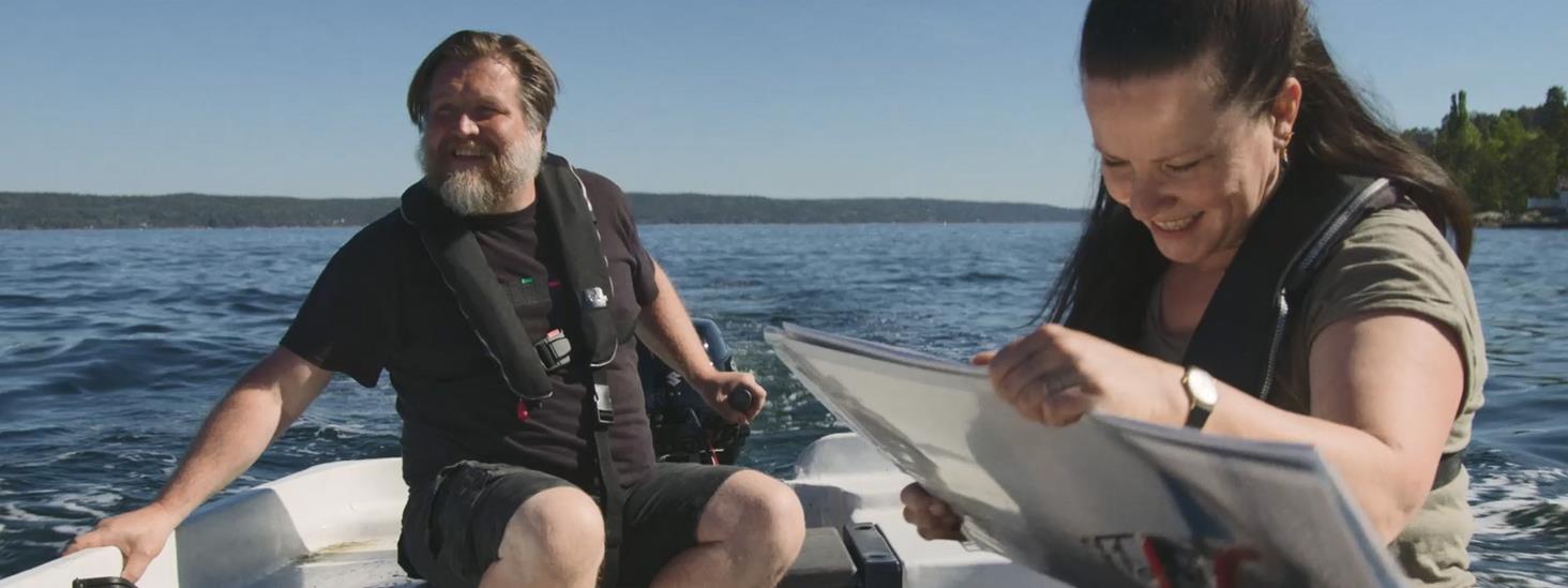
Use nautical charts – get a better experience at sea
Where is it safe to go? Where is it nice go on shore? Where's the magic fishing ground? There is no reason for accidents. Use the nautical chart to familiarize yourself with the area you will be sailing in.
With the Norwegian Mapping Authority on the team, you lay the foundation for being the master at sea.
"The use of nautical charts not only provides safer navigation – you may discover new exciting places in the archipelago, new opportunities to anchor, new swimming and fishing spots and you can avoid going ashore at a bird sanctuary. There is a lot of local knowledge to be found in nautical charts and in the sailing directions in the Norwegian Pilot. Information about water levels and times of high and low tide, which you get at Se havnivå, is for many people absolutely crucial for the voyage and mooring of the boat," says Director Birte Noer Borrevik of the Norwegian Mapping Authority's Maritime Division.
Why use a nautical chart?
Different quality of depth data in the map
Pay attention to the quality of depth data in the nautical chart. Are there areas that have never been surveyed, or that were surveyed by hand before 1960? In the paper nautical chart, you can check this in the source diagram/ZOC diagram, which provides information about how accurate depth data is in the chart. Familiarize yourself with your chartplotter and investigate how your supplier marks such unsafe areas in the chart.
Electronic nautical charts for chartplotters, based on nautical chart data from the Norwegian Mapping Authority, are offered by several distributors. Those who download and make available updates twice a month submit chart content that is updated in accordance with the Norwegian Mapping Authority's standard which is similar to the official Norwegian paper nautical charts that are updated with corrections from the Notices to Mariners (EFS) on the fortnight.
Corrections to nautical charts
Corrections to nautical charts can be found on the service Norwegian notices to mariners - EFS and you can also find out if your paper nautical chart is still valid. Maybe a new overhead cable has been set up that is an obstacle for your sailboat, or new shoals have been reported in the area where you are planning your voyage?
In Hvaler and other areas with archipelagos, for example, there are many important shallows that have been found to be deeper, or shallower after new and modern mapping.
In the EFS service and on norgeskart.no you will find information about whether your paper nautical chart is valid, i.e. when it was last published in a new edition or whether completely new charts have been published.
Plan your sailing route
Avoid rocks, shoals and dangerous shortcuts. The sailing directions The Norwegian pilot is digital, dnl.kartverket.no. Use it for what it's worth!
Use it to find out where to moor and what are the bottom conditions like if you are thinking of releasing the dredge?
Waterways, tides and tides
Tides and water levels can vary greatly along the Norwegian coast. On the webservice See sea level, you will find information about forecasted water levels and current water levels, times of high and low tides and tables for tides.
Check the notification! When there was high tide, the voyage went just fine. The next time it may be low tide and then you may be unlucky enough to encounter a rock if you have not checked the nautical chart well enough in advance. And when you are going to moor the boat on land, it is important that you know how far up on land you should do it.
Checking sea level can also help you calculate how high your new pier should be. If you build the pier too low, it will be under water at high tide. If it is too high, it will be difficult to get out of the boat. Read about the method that helps you find the ideal height of your pier.
Practice makes perfect
How was it that you were going to plot the sailing course into the chart? If you need to practice using nautical charts, or are you going to take the boat driving test, download the free school map here. The school maps are excerpts from ordinary nautical charts, and are designed for use in teaching and for practice in the use of nautical charts. You must print them in A3 format, otherwise the scale of the map will not be correct.
If you were born in 1980 or later and are going to drive a leisure boat with a length of more than 8 metres or with an engine greater than 25 horsepower, you must have a boat driving licence. But surely everyone should check out how well their knowledge is? On the internet, there are several sites that offer free tests and exercises for the boat driving test. What about having a knowledge competition with family and friends?
Ship o'hoi ⚓
Do you own a boat?
Take control before the season!
Facts Where to buy nautical charts?
The Norwegian Mapping Authority does not sell the paper maps themselves but creates map files that dealers print for you: Print on Demand maps (POD). See an overview of the Norwegian Mapping Authority's distributors from whom you can order paper nautical charts.
Electronic nautical charts for chart plotters, based on nautical chart data from the Norwegian Mapping Authority, are offered by several distributors. See an overview of who the distributors are and how often they update their nautical charts.


The mail has been sent!