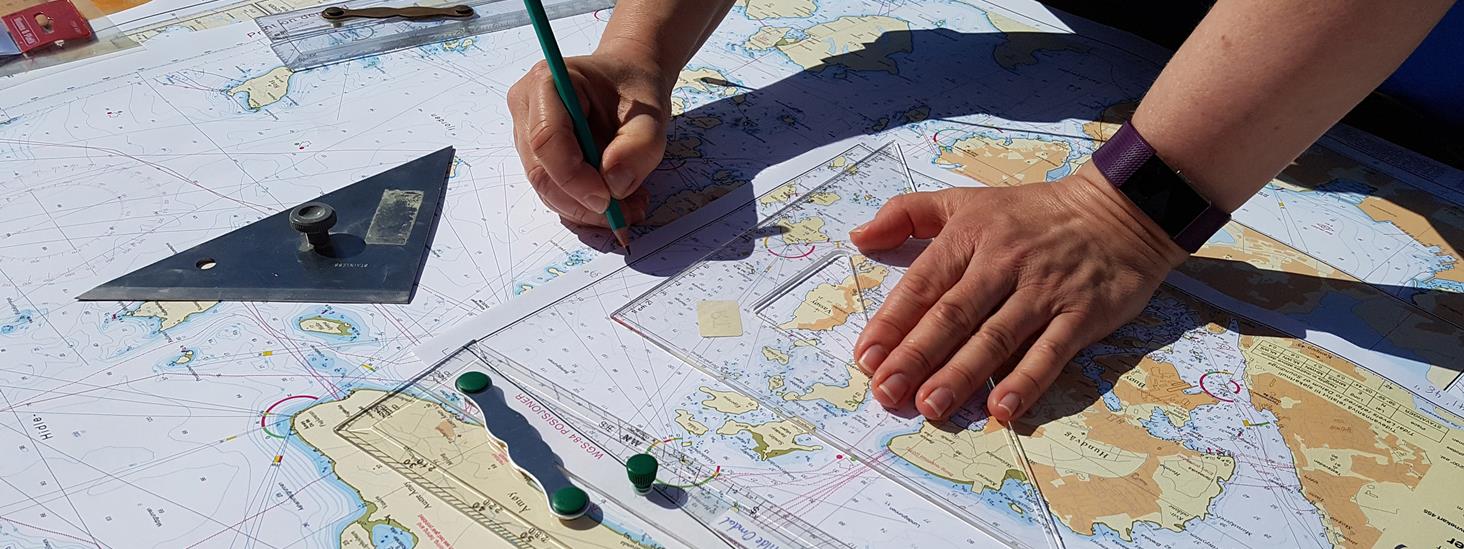
School map
The Norwegian Mapping Authority offers free school maps. The school maps are excerpts from ordinary nautical charts, and are designed for use in teaching and for exercises in the use of nautical charts.
The Norwegian Mapping Authority has released school maps for the areas: Bergen, Boknafjorden, Flåvær, Lepsøyrevet, Lindesnes, Nærøysundet, Oslo Harbour, Oslo Fjord, Skagerrak, Stavanger, Tjeldsundet and Vestfjorden.
Properties and applications
The school maps are made in A3 format so that they can be easily printed. The maps are intended for educational use only and are therefore marked "Not for navigational use".
Most of the school charts are sections of standard nautical charts on a scale of 1:50,000. The Port of Oslo and Stavanger are on a scale of 1:10,000. The Skagerrak and the Vestfjord are on a scale of 1:350,000 (coastal map). All school maps can be used for training.
Download school map
The school maps that are available for free in pdf format are:
- School map for Bergen (pdf) – (approach from the south) is a section from main series, map no. 21 Selbjørnsfjorden - Bergen.
- School map for Boknafjorden (pdf) – is a section from main series map no. 16 Tananger – Stavanger – Skudenes and no. 17 Karmsundet – Ryvarden – Skjoldafjorden.
- School map for Flåvær (pdf) – is a section from main series map no. 30 Haugsholmen – Ålesund.
- School map for Lepsøyrevet (pdf) – is a section from main series map no. 31 Breidsundet – Fjørtoft.
- School map for Lindesnes (pdf) – is a section from the main series maps no. 10 Ny-Hellesund – Lindesnes and no. 11 Lindesnes – Lista.
- School map for Nærøysundet (pdf) – is a section from main series map no. 48 Gjæslingan – Dolmsundet.
- School map for the Port of Oslo (pdf). - is a section from harbour map no. 452 Port of Oslo.
- School map for the Oslofjord (pdf) – is a section from main series map no. 3 Oslofjorden, Fulehuk – Filtvet – Rødtangen.
- School map for Skagerrak (pdf) – is a section of coastal map no. 305 Skagerrak, and covers the Skagerrak between Lindesnes – Lillesand – Hanstholm.
- School map for Stavanger (pdf) – is a section from harbour map no. 455 Stavanger harbour with approaches.
- School map for Tjeldsundet (pdf) – is a section from main series map no. 77 Tjeldsundet – Harstad – Lavangen.
- School map for Vestfjorden (pdf) – is a section of coastal map no. 311 Støtt – Andnes, and covers parts of Vestfjorden.
In our free publication "Symbols and abbreviations in nautical charts" you can learn all about symbol use and how to understand a nautical chart.


The mail has been sent!