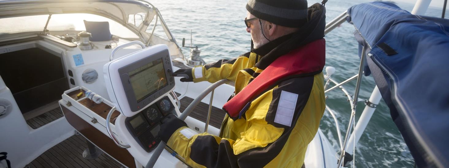
Electronic Chart Data for Chartplotters
See list of distributors who offers electronic navigational charts for chartplotters to the leisure fleet, based on chart data from the Norwegian Mapping Authority, Hydrographic Service.
Distributors who use chart data from the Norwegian Mapping Authority, Hydrographic Service in their software, must enter an agreement. The agreement requires distributors of Norwegian electronic navigational chart data to download updated chart data at least once a month. In addition, these updates must be made available to the end users, free of charge or by the distributor's payment scheme.
Norwegian electronic chart data to chartplotters
The table shows an overview of distributors offering Norwegian electronic charts based on chart data from the Norwegian Mapping Authority, Hydrographic Service.
Distributors Offering Charts to Chartplotters
Chart data from the Norwegian Mapping Authority, Hydrographic Service are updated twice a month:
- Navionics - navionics.com
- Garmin - garmin.com
- Olex AS - olex.no
- Wartsila Technology Oy Ab - www.wartsila.com
Chart data from the Norwegian Mapping Authority, Hydrographic Service are updated once a month:
- BIST - gpsnauticalcharts.com
- ChartWorld - chartworld.com
- Geogarage - justmagic.com
- Pocket Mariner Ltd. - pocketmariner.com
- SeaPilot AB - seapilot.se
Chart data from Norwegian Mapping Authority, Hydrographic Service are updated every three months:
- Navico/C-MAP - c-map.com
- Norcom Technology - norcom-technology.co.uk
Distributors offering updates twice a month, are allowed to promote their electronic charts with an acknowledgement that approves the charts as compliant to the Norwegian Mapping Authority, Hydrographic Service's (NMA-HS) standards for processing chart updates: "The chart content in this product is updated according to NMA-HS standards."
This implies that the charts are updated at the same frequency as the Norwegian official nautical Print on Demand charts, which are updated according to the Norwegian notices to mariners, Etterretninger for sjøfarende (Efs), every fourteen days.
Free software
Norwegian electronical chart data are also available through free software. For instance, updated Norwegian electronic navigational chart data can be downloaded and used in the open source chartplotter and navigation software OpenCPN. Distributor Renate Rosner Consult S.L. (RRC) represents OpenCPN. The Norwegian chart data are updated weekly and are available in OpenCPN's chart catalogue O-charts.
Seapilot offers Electronic Sea Chart Data through the free app for leisure fleet navigation, please see seapilot.com.
ENC vs. chartplotter
Producers of electronical navigational charts for chartplotters can get access to chart data from the Norwegian Mapping Authority, to be used in their software. These chart solutions are not authorised navigational charts.
There is a difference between official electronical navigational charts (ENC) used in an ECDIS (Electronic Chart Display and Information System) and electronical charts used in chart plotters. Carriage of up-to-date official charts (ENC) is an obligation for the regulatory (SOLAS) shipping. Only ENCs fulfil these carriage requirements.


The mail has been sent!